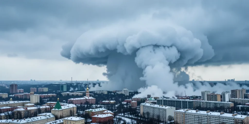
Unique Image from an Altitude of 35 Thousand Kilometers
The state corporation Roscosmos on September 6, 2026, showcased a satellite image of an atmospheric cyclone approaching Moscow. The photo was taken from orbit at an altitude of over 35,000 kilometers, allowing detailed observation of the structure and scale of the phenomenon.
The image was captured by a spacecraft from the «Meteor» series, specialized in monitoring weather and climate processes. This observation altitude provides a wide coverage area and helps forecast the cyclone’s further development with high accuracy.
The Cyclone Caused Abnormal Snowfall in the Capital
The cyclone documented by Roscosmos caused significant snowfall in the Moscow region. Within the first 24 hours of precipitation, Moscow received more than half of the monthly norm—about 45 millimeters of water-equivalent precipitation—greatly exceeding average September levels.
Meteorologists warn that the intensity of the snowfall may lead to traffic jams and complications in the operation of urban infrastructure. Housing and utilities services and road maintenance crews have already been put on high alert to respond promptly to potential consequences.
Cyclone’s Path and Origin
The cyclone formed south of Greenland and is moving toward the Volga region, passing through the Kaliningrad Oblast and heading to Moscow. This atmospheric system’s movement is tracked by «Meteor-M» satellites and other Russian monitoring satellites.
This trajectory indicates the influence of western air masses and allows experts to predict its further impact on central areas of European Russia. Studying such phenomena helps improve warning systems and preparedness for extreme weather events.
Roscosmos’ Role in Monitoring Weather Phenomena
Roscosmos actively conducts space-based monitoring of the atmosphere and natural processes using a series of meteorological satellites. The «Meteor» satellites provide prompt data collection on atmospheric conditions across Russia and neighboring regions.
This data supports scientific research as well as practical needs of emergency services and meteorological centers. Satellite monitoring enables timely detection of hazardous weather events, helping to minimize damage and enhance public safety.
Outlook and Consequences for Moscow
The cyclone is expected to affect the Moscow region for several days, causing prolonged precipitation and a drop in temperature. This may result in transportation difficulties and increased strain on municipal services.
At the same time, such atmospheric events stimulate the development of weather monitoring and forecasting technologies and raise public awareness of potential risks. Authorities recommend residents follow safety precautions and stay updated on forecast changes.
Summary: Roscosmos’ satellite images confirm the power and impact of the cyclone on Moscow, highlighting the importance of space-based monitoring for safety and preparedness in extreme weather conditions.
Sources
- hi-tech.mail.ru — «Roscosmos reveals satellite image of cyclone approaching Moscow»
- hi-tech.mail.ru — «showed satellite images of the cyclone bringing snow to Moscow»
- ujnosahalinsk.bezformata.com — «Roscosmos presented photos of the snow cyclone covering»
- 360.ru — «Cyclone ‘Olga’ shown from space — 360.ru»
- newizv.ru — «Snow terror: the cyclone ‘Vanya’ covering Central Russia»